File:Suobbattjåhkå stream and the Tjakkeli mountain during golden hour, Sarek National Park (DSCF2833).jpg

Size of this preview: 800 × 573 pixels. Other resolutions: 320 × 229 pixels | 640 × 459 pixels | 1,024 × 734 pixels | 1,280 × 917 pixels | 2,560 × 1,835 pixels | 4,553 × 3,263 pixels.
Original file (4,553 × 3,263 pixels, file size: 10.75 MB, MIME type: image/jpeg)
.jpg)
Summary
| Description |
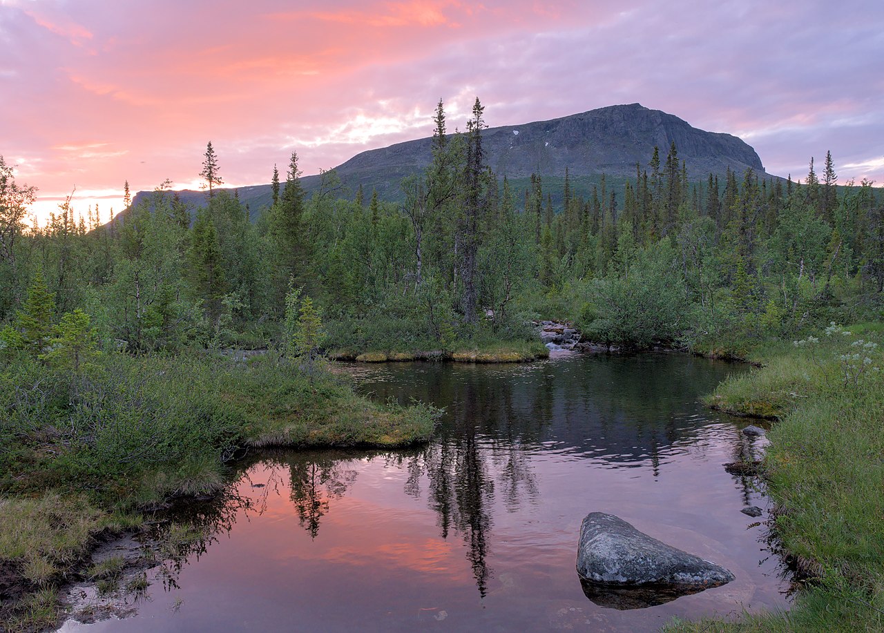
English: Suobbattjåhkå stream and the Tjakkeli mountain during golden hour, Sarek National Park
|
||
| Date | |||
| Source | Own work | ||
| Author | Trougnouf (Benoit Brummer) |
| Camera location | | View this and other nearby images on: OpenStreetMap |
|---|
.jpg¶ms=067.097128_N_0018.203796_E_globe:Earth_type:camera__&language=en)
Licensing
I, the copyright holder of this work, hereby publish it under the following license:
This file is licensed under the Creative Commons Attribution 4.0 International license.
- You are free:
- to share – to copy, distribute and transmit the work
- to remix – to adapt the work
- Under the following conditions:
- attribution – You must give appropriate credit, provide a link to the license, and indicate if changes were made. You may do so in any reasonable manner, but not in any way that suggests the licensor endorses you or your use.
This image was uploaded as part of Wiki Loves Earth 2020. Other languages:
|
 |
This image has been assessed using the Quality image guidelines and is considered a Quality image.
|
File history
Click on a date/time to view the file as it appeared at that time.
| Date/Time | Thumbnail | Dimensions | User | Comment | |
|---|---|---|---|---|---|
| current | 10:10, 9 May 2020 | | 4,553 × 3,263 (10.75 MB) | Trougnouf | blacker blacks Uploaded with dtMediaWiki 45 |
| 18:37, 8 May 2020 |  | 4,553 × 3,263 (10.71 MB) | Trougnouf | fix mask Uploaded with dtMediaWiki 45 | |
| 18:33, 8 May 2020 |  | 4,553 × 3,263 (10.67 MB) | Trougnouf | defringe all, brighten center Uploaded with dtMediaWiki 45 | |
| 18:24, 8 May 2020 |  | 4,553 × 3,263 (11.13 MB) | Trougnouf | Uploaded with dtMediaWiki 45 |
File usage
The following 2 pages use this file:
Global file usage
The following other wikis use this file:
- Usage on se.wikimedia.org
.jpg)