File:Les Piles.jpg

Size of this preview: 800 × 533 pixels. Other resolutions: 320 × 213 pixels | 640 × 427 pixels | 1,024 × 683 pixels | 1,280 × 853 pixels | 2,560 × 1,707 pixels | 3,648 × 2,432 pixels.
Original file (3,648 × 2,432 pixels, file size: 3.88 MB, MIME type: image/jpeg)
Summary
| Description |
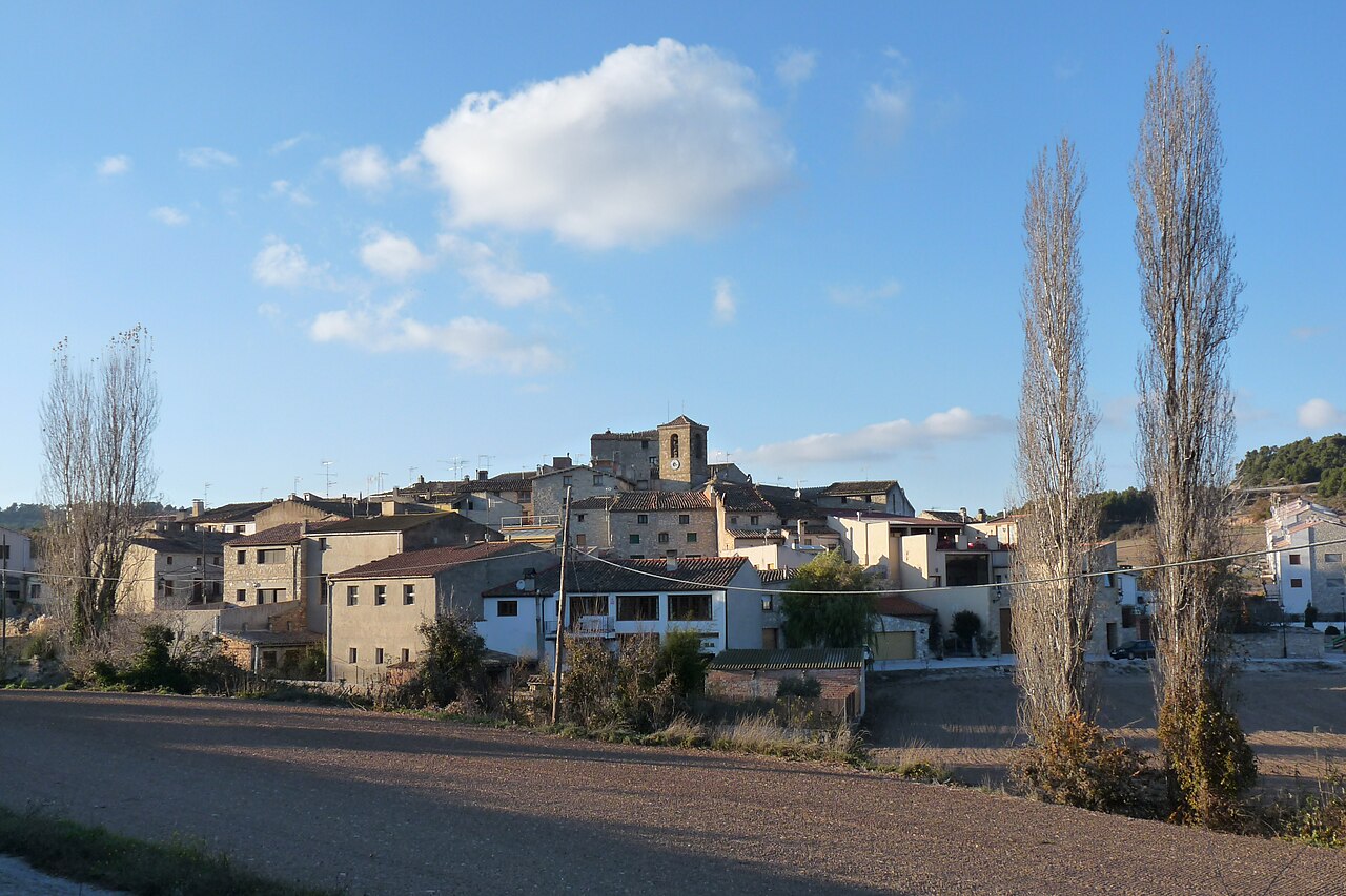
English: Les Piles
Català: Les Piles |
| Date | |
| Source | Own work |
| Author | Tabalot |
| Camera location | | View this and other nearby images on: OpenStreetMap |
|---|
Licensing
| I, the copyright holder of this work, release this work into the public domain. This applies worldwide. In some countries this may not be legally possible; if so: I grant anyone the right to use this work for any purpose, without any conditions, unless such conditions are required by law. |
File history
Click on a date/time to view the file as it appeared at that time.
| Date/Time | Thumbnail | Dimensions | User | Comment | |
|---|---|---|---|---|---|
| current | 23:09, 28 November 2010 | | 3,648 × 2,432 (3.88 MB) | Tabalot | {{Information |Description={{en|1=Les Piles}} {{ca|1=Les Piles}} |Source={{own}} |Author=Tabalot |Date=28/11/2010 |Permission= |other_versions= }} {{location|41|30|9.44|N|1|20|38.12|E|region:ES-CT_type:city}} [[Category:Conca de Barberà |
File usage
There are no pages that use this file.
Global file usage
The following other wikis use this file:
- Usage on azb.wikipedia.org
- Usage on ceb.wikipedia.org
- Usage on de.wikipedia.org
- Usage on es.wikipedia.org
- Usage on lld.wikipedia.org
- Usage on pt.wikipedia.org
- Usage on ru.wikipedia.org
- Usage on sv.wikipedia.org